World Maps
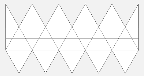
World Maps are generic maps showing the primary environmental conditions.
Description / Specifications[edit]
Simple maps intended to show the nature of a world.
For additional related images also see:
Usage[edit]
In order to use these images, edit the section containing the image and copy the appropriate line of data for the image.
Paste the whole line of data into your article.
- If you do accidentally make changes to this article, please do not save those changes.
- Please see the disclaimer, below, regarding usage.
Alternatively, open the image, copy the name, and use it within the Image Size format shown below.
Image Size[edit]
These images are intended to be displayed at a set size - 500 pixels wide (about 5 inches, or 12.5 cm).
This is achieved by using the following format (though be aware, not all images are jpgs):
[[File:Image Name.jpg|500 px]]
The uploaded images are larger, allowing the referee to scale them to taste by using different "px" values in the line above.
Generic World Maps[edit]
Worlds with a Hydrosphere Code of 6 or more:
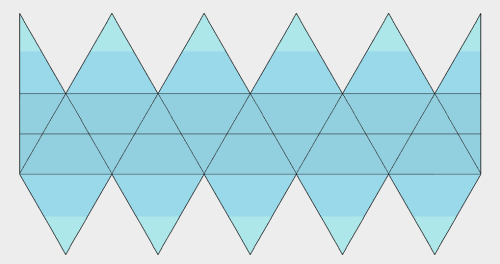
(Placeholder chart, predominantly watery world.)
Worlds with a Hydrosphere Code of 5 or less:
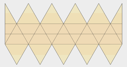
(Placeholder chart, predominantly dry world.)
Vacuum worlds or worlds with a trace atmosphere (Atmosphere Codes 0 or 1):
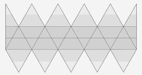
(Placeholder chart, vacuum world.)
Worlds with an exotic atmosphere (Atmosphere Code A through F):
- Note that the atmosphere may not be green.
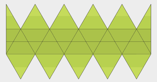
(Placeholder chart, exotic world.)
Asteroid Belt or Planetoid Belts (worlds with Size Code 0):
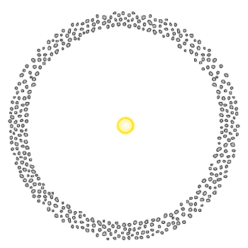
(Placeholder chart, asteroid belt.)
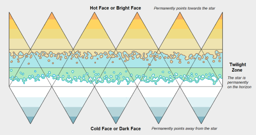
An example Twilight Zone World is also provided:
History & Background / Dossier[edit]
These diagrams were created by myself.
- Permission is freely granted to use them as desired.
References & Contributors / Sources[edit]
- Author & Contributor: Lord (Marquis) and Master Scout Emeritus Adie Alegoric Stewart of the IISS

